Go to main content
Plan Finder
Plan Finder

You've added a new disclaimer! Double click here to author it!

OnStar Connected Services and Wi-Fi Plans available in United Arab Emirates (UAE) and Kuwait only.

Google Maps helps you reach your next destination with real-time traffic data, automatic rerouting and voice control with Google Assistant.


How do I use Google Maps?

To use Google Maps, you’ll need a paid service plan or trial. For the best experience, you should also sign in to your Google Account (the system will prompt you to do so when you open the MAPS app). Tap the MAPS icon on your screen to begin. 

  1. If you’re in PARK: Tap the SEARCH bar in the upper-left corner of the screen to type in a location, address, Point of Interest or destination category (e.g., restaurants, charging station)
  2. If you’re driving: Tap the MICROPHONE icon in the upper-right corner of the screen to enter and address by voice using Google Assistant
  3. Choose your destination from the list of options on the screen or change your search to find other locations
  4. After you select your destination, available routes will be displayed on the screen. If there are multiple options, choose the route you’d like to use to confirm. You can also tap Routing Options for additional choices
  5. Verify the location and route by tapping Start. Your route will begin

For electric vehicles, additional mapping features are available: 

  • Plan your route based on your state of charge or preferred charging stations
  • Search for charging stations along your route
  • See the estimated charge state at arrival
  • When your battery state of charge gets low, Maps will prompt you to add a stop at a charge station to your route

On vehicles equipped with Super Cruise, the routing options may also show you which route provides the most compatibility with the hands-free driver assistance technology. You’ll see a steering wheel icon with the approximate travel time on Super Cruise-compatible roads displayed in the route information.

Is the information in Google Maps up to date?

Yes. Google Maps uses real-time data, including traffic information, and will update your route based on the information.

You’ll also get the latest available information for locations and Points of Interest (POIs), such as hours of operation. If you have an electric vehicle, you can also get real-time charging station information, including how many charging points are currently free at each station.

How do I save my home or work addresses?

When you’re signed into your Google Account, your saved addresses will automatically appear as suggested destinations in the vehicle. If you’ve programmed home and work addresses into the Google Maps app on your compatible phone using the same Google Account you’re using in the vehicle, they will appear in the vehicle.

You can also go into the Settings menu in Google Maps and tap “Edit home or work” to save new addresses.

Can I use Google Assistant with Maps?
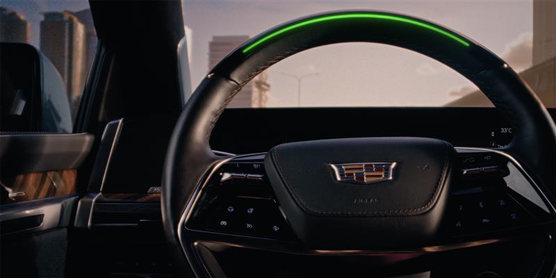
Yes. You can use Google Assistant to help you navigate home, find the nearest gas station or charging station, or ask about a store’s hours — all without taking your eyes off the road or your hands off the wheel. Just say, “Hey Google” or press and release the PUSH-TO-TALK button on the steering wheel.
What are offline maps?
Offline maps allow you to continue using Google Maps through areas of intermittent connectivity. By default, the system will automatically download offline maps for this reason. You can change this setting and instead opt to manually download offline maps if you prefer.
How do I download offline maps?

Click on the Settings icon within Maps, scroll down to Offline Maps, select geo fence area (zoom in / zoom out) and click 'Download'. Size of area selected for offline map download will determine data consumption.

Please be aware of your data consumption and associated charges.